

How Do Sensor Technologies Detect Potential Disasters Early?
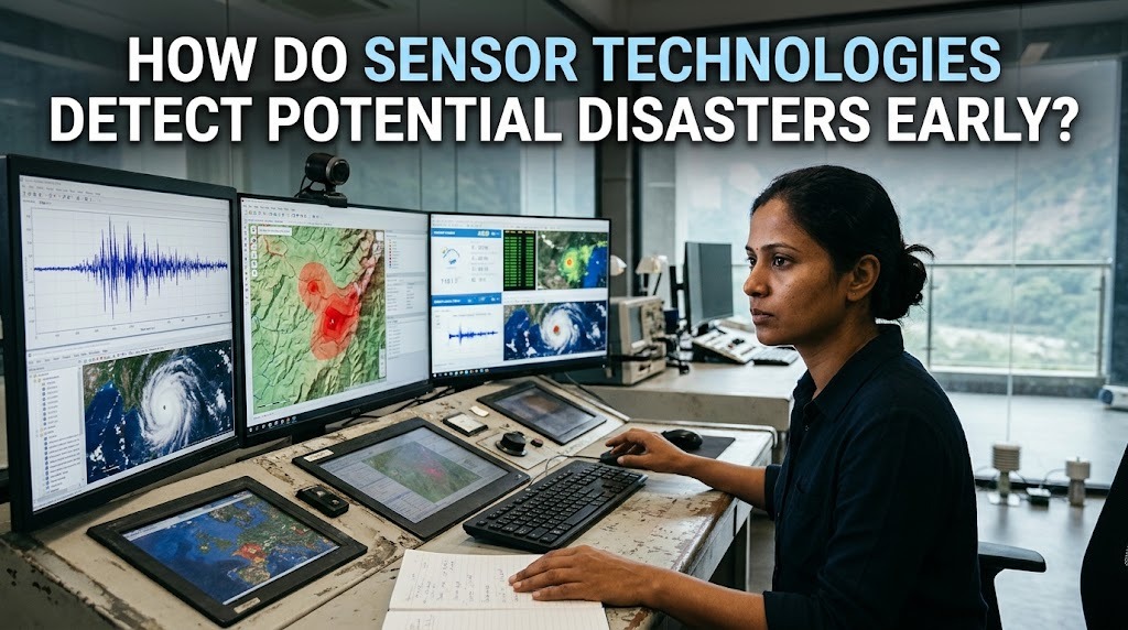
Natural disasters can develop rapidly and cause significant damage to communities, infrastructure, and the environment. Events such as earthquakes, floods, landslides, volcanic eruptions, and tsunamis may threaten lives when people do not receive warnings early enough. Therefore, detecting potential disasters before they become more dangerous is an important part of disaster risk reduction.
Sensor technologies help monitor environmental conditions and identify unusual changes that may indicate an approaching hazard. These devices collect information such as ground movement, rainfall intensity, water levels, temperature, and volcanic activity. By analyzing this data, monitoring systems can provide early indications of potential disasters and support authorities in preparing appropriate responses.
MONITORING ENVIRONMENTAL CHANGES
Sensors detect potential disasters by continuously measuring changes in the surrounding environment. Different types of sensors are designed to observe specific conditions that may indicate increasing disaster risks.
For example, rainfall sensors measure precipitation levels, while water-level sensors monitor changes in rivers and reservoirs. Seismic sensors detect ground vibrations, and temperature sensors can identify unusual thermal changes around certain volcanic areas.
When measurements exceed established thresholds or show unusual patterns, monitoring systems can generate alerts for further investigation. This allows authorities to identify developing hazards and assess whether additional safety measures are necessary.
DETECTING EARTHQUAKE ACTIVITY
Seismic sensors, commonly known as seismometers, are used to detect ground vibrations caused by earthquakes and other geological activities. These instruments measure movements in the Earth's surface and record information about seismic waves.
Some earthquake early warning systems use sensor networks to detect the faster-moving primary waves before the more damaging secondary waves and surface waves arrive at locations farther from the earthquake's origin. This may provide a short period for automated safety actions or public warnings.
However, earthquake early warning is not the same as predicting earthquakes before they occur. Sensors generally detect an earthquake after it has started, and the available warning time depends on the earthquake's location, distance, and monitoring network coverage.
IDENTIFYING FLOOD RISKS THROUGH WATER SENSORS
Flood monitoring systems use water-level sensors, rainfall gauges, and flow measurement devices to observe conditions in rivers, drainage channels, and reservoirs. These instruments provide information about rising water levels and changes in water movement.
When heavy rainfall continues or river levels approach critical thresholds, monitoring systems can notify authorities about increasing flood risks. Some systems also combine sensor measurements with weather forecasts and hydrological models to estimate possible flooding conditions.
This information helps communities prepare evacuation routes, protect important facilities, and move valuable equipment to safer locations. Continuous monitoring is particularly useful in areas that frequently experience heavy rainfall or river overflow.
MONITORING VOLCANIC ACTIVITY
Volcanic activity can produce several environmental changes before or during an eruption. Monitoring systems use different sensors to observe these changes, including ground deformation, seismic activity, gas emissions, and temperature variations.
Ground deformation sensors can detect changes in the shape or position of a volcano. Seismic instruments monitor volcanic earthquakes, while gas sensors measure emissions such as sulfur dioxide that may indicate changes in volcanic activity.
By combining information from multiple monitoring instruments, volcanologists can evaluate changes in a volcano's condition. These measurements support hazard assessments and help authorities determine whether public warnings or evacuation measures are necessary.
DETECTING LANDSLIDE MOVEMENTS
Landslide monitoring systems use sensors to identify ground movements and changes in soil conditions. Common technologies include inclinometers, ground movement sensors, moisture sensors, and rain gauges.
Inclinometers measure changes in the inclination of the ground or structures, while moisture sensors monitor water content in the soil. When combined with rainfall information, these measurements can help identify conditions associated with increasing slope instability.
If a monitoring system detects unusual movement or rapidly changing soil conditions, it can send alerts to relevant authorities. This information is valuable for communities living near steep slopes, hillsides, and areas with a history of landslides.
USING WIRELESS SENSOR NETWORKS
Wireless sensor networks allow multiple monitoring devices to communicate and share environmental measurements. Instead of relying on a single instrument, these networks collect information from different locations to provide a broader understanding of developing hazards.
For example, a flood monitoring network may include rainfall gauges and water-level sensors installed along several river points. Their measurements can be transmitted to a central monitoring system for continuous analysis.
Wireless communication makes it easier to distribute monitoring devices across large areas. However, reliable electricity, communication coverage, and equipment maintenance remain important for ensuring that the network continues to operate effectively during emergencies.
ANALYZING SENSOR DATA WITH ARTIFICIAL INTELLIGENCE
Artificial intelligence can help analyze large amounts of sensor data and identify patterns that may be difficult to recognize through manual observation alone. Machine learning systems can examine historical measurements alongside current environmental conditions to detect unusual changes.
For example, an AI-based monitoring system may analyze rainfall intensity, river levels, and previous flood records to identify conditions associated with increased flood risk. Similar approaches can support the analysis of seismic measurements and volcanic monitoring data.
AI does not independently guarantee accurate disaster predictions. Its results depend on the quality of available data, model reliability, and environmental conditions. Human experts and established monitoring procedures remain essential when interpreting alerts and making emergency decisions.
CONNECTING SENSORS TO EARLY WARNING SYSTEMS
Sensor technologies become more useful when connected to early warning systems. These systems collect environmental measurements, process incoming information, and communicate alerts to authorities and communities.
Warnings can be distributed through mobile applications, text messages, sirens, radio broadcasts, and public communication networks. The information may include the type of hazard, affected areas, recommended safety actions, and evacuation instructions.
An effective early warning system requires more than accurate sensors. It also depends on reliable communication, clear warning procedures, public awareness, and the ability of communities to respond quickly.
CHALLENGES IN USING SENSOR TECHNOLOGIES
Although sensor technologies provide important monitoring capabilities, several challenges can affect their performance. Equipment may be damaged by extreme weather, power interruptions, physical impacts, or difficult environmental conditions.
Communication networks can also fail during major disasters, preventing sensor measurements from reaching monitoring centers. In remote areas, limited infrastructure may make it difficult to install and maintain monitoring equipment.
Another challenge is data accuracy. Faulty sensors, incomplete measurements, or incorrect threshold settings may produce false alarms or fail to identify important warning signs. Regular calibration, maintenance, backup communication systems, and expert evaluation are therefore necessary.
THE ROLE OF SENSOR TECHNOLOGIES IN DISASTER PREPAREDNESS
Sensor technologies support disaster preparedness by providing information that helps authorities and communities understand potential hazards. Monitoring data can be used to develop evacuation plans, identify vulnerable areas, and determine when preventive measures should be implemented.
Local governments can use environmental measurements to improve emergency planning and coordinate responses with disaster management agencies. Communities can also benefit from public education about warning signals and appropriate safety procedures.
When combined with accurate risk assessments and effective communication, sensor technologies can strengthen disaster preparedness. Their main contribution is providing timely information that supports better decisions before hazardous conditions become more dangerous.
CONCLUSION
Sensor technologies detect potential disasters early by monitoring environmental changes and identifying unusual patterns associated with hazards such as earthquakes, floods, landslides, and volcanic eruptions. Seismic instruments, water-level sensors, rainfall gauges, ground movement detectors, and gas sensors each provide information about specific environmental conditions.
When connected to wireless networks, data analysis systems, and public warning channels, these technologies can support faster hazard assessment and emergency preparation. Although sensors cannot prevent natural disasters or guarantee accurate predictions, they play an important role in reducing risks and helping communities respond more effectively.
Recent Posts

Bagaimana Sistem SKS pada Program Kuliah... 22.11.2026/37 View

How Does Technology Make Daily Evaluation... 21.11.2026/70 View

Apa Strategi Menghadapi Kesenjangan antara Kompetensi... 21.11.2026/73 View

Mengapa Inventaris Aset Penting bagi Kelancaran... 21.11.2026/68 View

When Should Musicians Join a Record... 21.11.2026/71 View
