

How Do Underground Robots Locate Damaged Utility Networks?
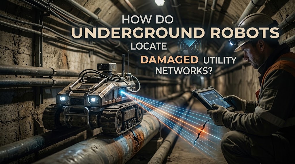
Underground utility networks carry essential services such as water, electricity, gas, and telecommunications. When these systems become damaged, locating the exact problem can be difficult because pipes and cables are buried beneath roads, buildings, and other infrastructure. Underground robots help technicians inspect these hidden networks without relying entirely on excavation. By combining sensors, cameras, mapping technology, and remote control, these robots can identify potential damage and provide useful information for repairs.
USING CAMERAS TO INSPECT UNDERGROUND PIPES
Many underground inspection robots use high-resolution cameras to examine the interior of drainage systems, water pipes, and sewer networks. The cameras capture images of cracks, corrosion, blockages, and other visible defects. Some robots include adjustable lighting to improve visibility in dark and narrow environments. Operators can observe the footage remotely and determine whether a section requires further investigation. However, camera inspections are most effective when the pipe interior is accessible and visibility is sufficient.
DETECTING DAMAGE WITH SPECIALIZED SENSORS
Sensors allow underground robots to identify problems that ordinary cameras may not reveal. Depending on the application, robots can carry ultrasonic sensors, acoustic equipment, thermal sensors, or electromagnetic detectors. Ultrasonic technology can help assess certain pipe defects, while acoustic sensors may detect unusual sounds associated with leaks. Electromagnetic sensors can assist in locating conductive cables and buried metallic utilities. Combining several sensor types can improve fault detection, although each technology has specific operating limitations.
CREATING MAPS OF BURIED UTILITY NETWORKS
Accurate mapping helps technicians understand where underground utilities are located and how different sections connect. Some robots use inertial measurement units, wheel encoders, and other positioning sensors to estimate their movement through underground environments. The collected measurements can be combined with existing utility records to create or update network maps. In accessible areas, surface-based positioning systems may also support mapping activities. Because satellite positioning signals are generally unavailable underground, robotic mapping often depends on onboard measurements and external reference points.
IDENTIFYING WATER LEAKS AND PIPE DAMAGE
Underground robots can help locate water leaks by detecting changes in sound, pressure, temperature, or other measurable conditions. For example, specialized acoustic systems may identify leak-related noise along water distribution pipes. Cameras and other inspection tools can reveal cracks, joint separation, corrosion, or internal obstructions. After detecting an abnormal condition, the robot records its estimated position so maintenance teams can investigate the affected area. The precise location may require additional measurements because signals can travel away from the actual defect.
LOCATING ELECTRICAL CABLE AND COMMUNICATION FAULTS
Robotic inspection can also support the maintenance of underground electrical and communication infrastructure. Robots may inspect accessible cable conduits, identify physical damage, and document obstructions or water intrusion. Specialized electromagnetic instruments can help technicians trace certain buried cables and identify irregularities in suitable conditions. For electrical faults, additional diagnostic equipment may be needed to measure insulation problems or determine the location of a break. Robots do not automatically detect every cable fault, so the inspection method must match the network type and suspected failure.
NAVIGATING NARROW AND COMPLEX ENVIRONMENTS
Underground utility networks often contain tight bends, uneven surfaces, standing water, and branching passages. Robots may use compact tracked platforms, wheeled systems, or flexible crawling mechanisms to move through these challenging spaces. Proximity sensors and obstacle-detection systems help them avoid collisions and recognize changes in the surrounding environment. Some advanced systems use autonomous navigation, while others depend on operators controlling them remotely. Their mobility depends on pipe diameter, terrain conditions, water levels, and the robot's design.
TRANSMITTING DATA TO MAINTENANCE TEAMS
After collecting inspection data, underground robots send information to operators through communication cables, wireless links where feasible, or onboard storage for later retrieval. The data may include images, sensor readings, defect classifications, and estimated locations. Mapping software can combine these results with utility records to help technicians prioritize repairs. Clear documentation also supports comparisons between inspections over time. Reliable data transmission and accurate interpretation are essential because incorrect fault locations can lead to unnecessary excavation and higher repair costs.
CONCLUSION
Underground robots locate damaged utility networks by inspecting pipes and conduits, measuring physical conditions, detecting anomalies, and recording their positions. Cameras, specialized sensors, navigation systems, and mapping tools work together to help technicians identify potential faults with less excavation. Although underground conditions and sensor limitations can affect accuracy, robotic inspection provides valuable information for maintaining essential infrastructure and planning targeted repairs.
Recent Posts

Bagaimana Sistem SKS pada Program Kuliah... 22.11.2026/48 View

How Does Technology Make Daily Evaluation... 21.11.2026/76 View

Apa Strategi Menghadapi Kesenjangan antara Kompetensi... 21.11.2026/78 View

Mengapa Inventaris Aset Penting bagi Kelancaran... 21.11.2026/73 View

When Should Musicians Join a Record... 21.11.2026/78 View
