

How Does Modern Technology Improve Archaeological Discoveries?
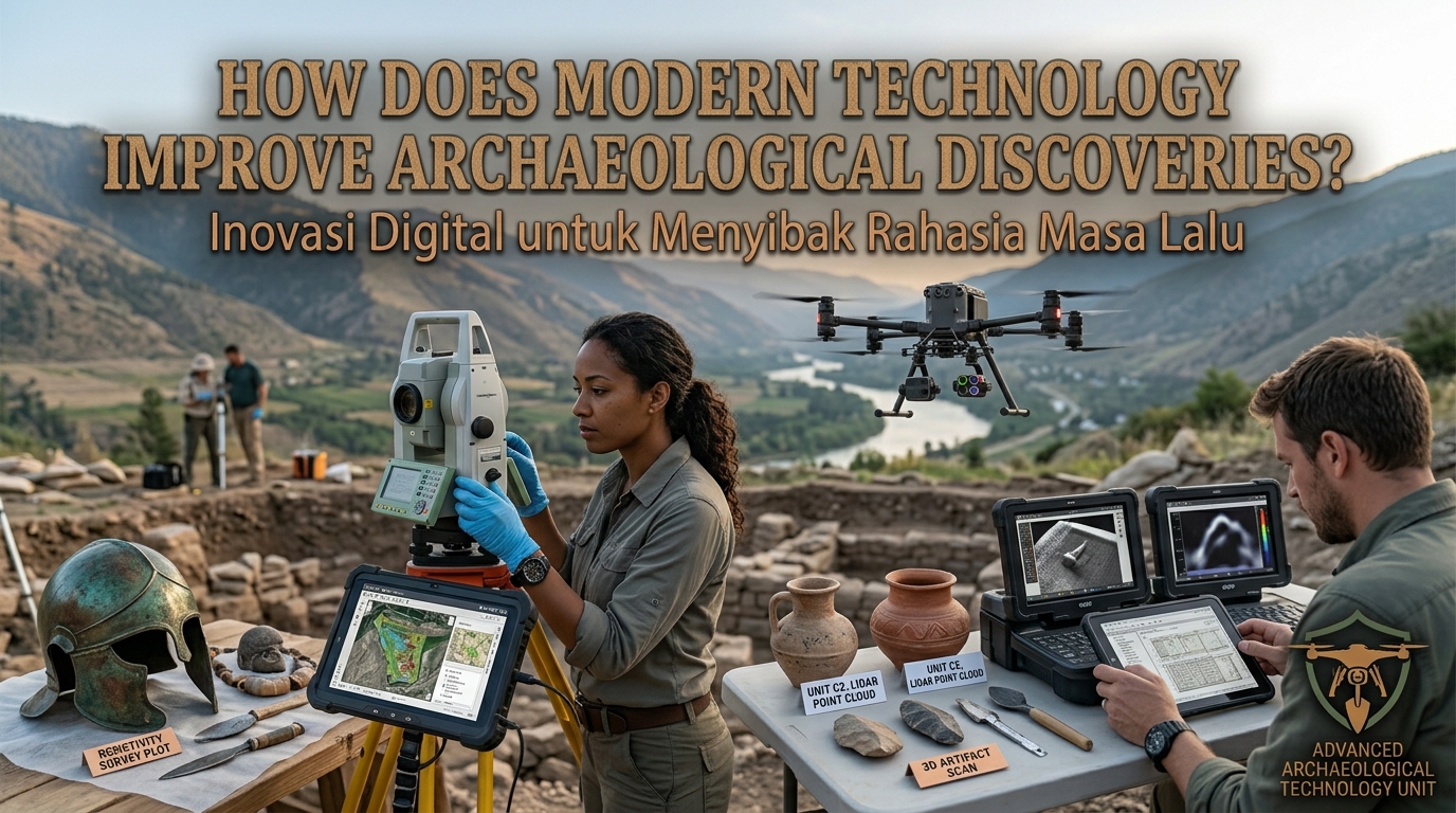
Modern technology has transformed the way archaeologists explore ancient civilizations and investigate the past. In the past, researchers often depended on manual excavation, historical documents, and physical observations to discover archaeological remains. Today, advanced technology helps archaeologists locate hidden structures, analyze ancient artifacts, and preserve historical sites with greater accuracy. Tools such as satellite imagery, drones, 3D scanning, and artificial intelligence make archaeological research more efficient and detailed. Understanding how modern technology improves archaeological discoveries shows why science and technology are essential for uncovering human history.
SATELLITE IMAGERY AND AERIAL SURVEYS
Satellite imagery allows archaeologists to examine large areas of land from above without immediately disturbing the ground. Researchers can identify unusual patterns in vegetation, soil color, and land formations that may indicate buried buildings, ancient roads, or forgotten settlements. Comparing images taken at different times can also reveal changes in the landscape that help researchers identify potential archaeological sites. This approach is especially useful in deserts, forests, and remote regions where traditional surveys may be difficult. Remote sensing helps archaeologists narrow their search areas before conducting field investigations.
Drones provide another way to collect detailed aerial information. Equipped with cameras and specialized sensors, drones can create high-resolution photographs and detailed maps of archaeological locations. These images help researchers study the layout of ancient cities, document damaged structures, and monitor changes over time. However, aerial images alone cannot always confirm that a feature is archaeological, so researchers must verify their findings through field surveys and other methods.
GROUND PENETRATING RADAR AND GEOPHYSICAL TOOLS
Ground penetrating radar (GPR) helps archaeologists investigate what lies beneath the surface without digging. The equipment sends radar pulses into the ground and records signals reflected by underground features. These signals can reveal possible walls, graves, foundations, and other buried structures, depending on the soil conditions and the nature of the materials. Archaeologists can use this information to identify promising excavation areas while minimizing unnecessary disturbance. GPR is particularly useful when researchers need to examine sensitive sites or areas containing fragile remains.
Other geophysical survey techniques, including magnetometry and electrical resistivity, can also detect differences beneath the ground. Magnetometry measures variations in magnetic fields that may be associated with buried structures, fireplaces, or human activity. Electrical resistivity measures how easily electrical current passes through the soil, helping researchers identify changes in underground materials and moisture. Each method has different strengths and limitations, so archaeologists often combine several techniques for a clearer picture. These tools make archaeological investigations more targeted and help protect valuable historical evidence.
LIDAR TECHNOLOGY AND LASER MAPPING
LiDAR, short for Light Detection and Ranging, uses laser pulses to measure distances and create detailed three-dimensional maps of landscapes. When used from aircraft or drones, LiDAR can help researchers identify subtle features that are difficult to see from the ground. In some forested environments, laser measurements that reach the ground through gaps in vegetation can reveal ancient terraces, roads, platforms, and settlement patterns. This technology has helped researchers investigate landscapes that were previously challenging to survey. It is especially valuable when vegetation hides important features from ordinary aerial photography.
LiDAR data can also help archaeologists understand how ancient communities organized their surroundings. Researchers can examine the relationships between buildings, agricultural areas, roads, and natural resources across large landscapes. Detailed terrain models make it easier to compare archaeological features and plan fieldwork. However, LiDAR does not automatically identify the age or purpose of every feature, so researchers must evaluate the data alongside archaeological evidence. Combining laser mapping with field surveys provides a more reliable understanding of ancient landscapes.
THREE DIMENSIONAL SCANNING AND DIGITAL RECONSTRUCTION
Three-dimensional (3D) scanning allows archaeologists to create digital models of artifacts, buildings, and monuments. These models preserve detailed information about an object's shape, surface, and dimensions without requiring repeated physical handling. Researchers can examine the digital versions from different angles, compare features, and share their findings with colleagues around the world. This is especially useful for fragile objects that could be damaged through frequent contact. Digital documentation also provides a valuable record if an artifact or structure later deteriorates.
Photogrammetry is another widely used technique that creates 3D models from overlapping photographs. Archaeologists take images from different angles and use specialized software to combine them into a digital representation. These models can support architectural analysis, virtual exhibitions, and the documentation of excavation areas. Digital reconstructions may also help illustrate how ancient buildings looked before they were damaged or abandoned. Nevertheless, reconstructions should clearly distinguish verified evidence from educated interpretation so that viewers understand which details are certain and which remain hypothetical.
ARTIFICIAL INTELLIGENCE AND DATA ANALYSIS
Artificial intelligence (AI) can help archaeologists process large amounts of information collected from satellite images, excavation records, photographs, and scientific measurements. Machine learning systems can identify patterns that might be difficult for researchers to detect manually. For example, AI-assisted image analysis can highlight possible archaeological features across extensive landscapes, helping researchers decide where further investigation may be useful. These tools can save time and support the analysis of complex datasets. However, AI predictions are not proof of an archaeological discovery and must be checked by qualified researchers.
Digital databases also make it easier to organize and compare archaeological information. Researchers can record artifact measurements, excavation locations, laboratory results, and historical references in searchable systems. By combining different datasets, archaeologists can investigate connections between ancient settlements, trade networks, environmental changes, and cultural practices. Human expertise remains essential because computer systems may produce errors or misinterpret incomplete information. Careful verification ensures that technological tools support reliable archaeological conclusions rather than replacing scientific judgment.
SCIENTIFIC DATING AND LABORATORY ANALYSIS
Modern laboratory techniques help archaeologists determine the age, composition, and possible origins of archaeological materials. Radiocarbon dating can estimate the age of suitable organic materials, such as charcoal, wood, and bone, by measuring the remaining carbon-14. Other dating methods, including dendrochronology, use tree-ring patterns to establish dates for suitable wooden materials. The most appropriate technique depends on the material being examined and the research question. These methods help researchers build timelines and understand when particular communities lived or when certain activities took place.
Laboratory analysis can also reveal information about ancient diets, technologies, and trade. Chemical analysis of pottery may provide clues about how vessels were used, while the study of metal composition can help researchers investigate production methods and material sources. Analysis of ancient plant remains and animal bones can offer evidence about agriculture, food consumption, and environmental conditions. Scientific testing adds measurable evidence to interpretations based on artifacts and structures. Researchers must still consider contamination, preservation conditions, and the limitations of each method when evaluating results.
DIGITAL TOOLS FOR ARCHAEOLOGICAL PRESERVATION
Modern technology improves not only archaeological discovery but also the long-term protection of historical sites. Geographic Information Systems (GIS) allow researchers to map archaeological locations and analyze their relationships with roads, rivers, settlements, and changing land use. This information can help conservation teams identify sites threatened by construction, erosion, flooding, or other environmental pressures. Digital monitoring systems and repeated surveys can also reveal changes in the condition of monuments over time. Early identification of potential damage gives specialists more opportunities to plan appropriate conservation measures.
Virtual museums and online archaeological collections make historical information accessible to people who cannot visit a site in person. Digital records can preserve photographs, measurements, scans, and research findings for future study. Some projects also use virtual reality to help visitors explore reconstructed historical environments. However, digital preservation cannot fully replace the protection of original sites and artifacts. Physical conservation remains essential because archaeological materials contain information that digital models may not capture completely.
CONCLUSION
Modern technology improves archaeological discoveries by helping researchers locate buried remains, map ancient landscapes, analyze artifacts, and protect historical sites. Satellite imagery, LiDAR, ground penetrating radar, 3D scanning, artificial intelligence, and scientific dating methods provide new ways to investigate the past. These technologies can make research more efficient and reduce unnecessary excavation, but their results must be interpreted carefully and verified through reliable evidence. Combining technological innovation with archaeological expertise creates a more complete understanding of ancient civilizations. By using these tools responsibly, researchers can discover, document, and preserve humanity's cultural heritage for future generations.
Recent Posts

Bagaimana Sistem SKS pada Program Kuliah... 22.11.2026/49 View

How Does Technology Make Daily Evaluation... 21.11.2026/79 View

Apa Strategi Menghadapi Kesenjangan antara Kompetensi... 21.11.2026/79 View

Mengapa Inventaris Aset Penting bagi Kelancaran... 21.11.2026/75 View

When Should Musicians Join a Record... 21.11.2026/80 View
