

How Does Satellite Imagery Support Natural Disaster Monitoring?
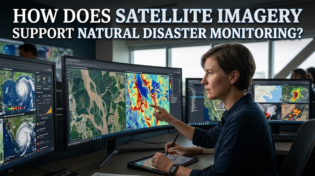
Natural disasters such as floods, wildfires, landslides, volcanic eruptions, and storms can cause significant damage to communities and the environment. Monitoring these events is essential for identifying potential threats, preparing emergency responses, and reducing losses. However, observing large or remote areas from the ground can be difficult, especially when roads are inaccessible or communication systems are disrupted.
Satellite imagery helps overcome these challenges by providing images and data about Earth's surface from space. Satellites can observe large geographic areas, detect environmental changes, and provide information that supports disaster monitoring. By combining satellite data with other technologies, authorities can better understand disaster conditions and make more informed decisions.
HOW SATELLITE IMAGERY WORKS
Satellite imagery is produced by sensors carried on satellites orbiting Earth. These sensors collect information about the planet's surface using visible light, infrared radiation, microwave signals, and other parts of the electromagnetic spectrum.
Different sensors provide different types of information. Optical satellites capture images similar to photographs, while radar satellites can observe the Earth's surface through clouds and during nighttime. This variety allows scientists to monitor environmental conditions under different circumstances.
MONITORING FLOODS AND WATER LEVEL CHANGES
Satellite imagery supports flood monitoring by showing changes in water coverage across large areas. Comparing images captured before and after heavy rainfall can help identify locations where rivers have overflowed or residential areas have become submerged.
Radar imagery is particularly useful because it can detect flooded areas even when thick clouds cover the region. This information helps disaster management agencies estimate the extent of flooding, identify isolated communities, and plan emergency assistance. Repeated observations can also support the monitoring of flood development over time.
DETECTING FOREST FIRES AND BURNED AREAS
Satellites help monitor wildfires by detecting heat patterns, smoke, and changes in vegetation. Thermal sensors can identify unusually high surface temperatures that may indicate active fires, while optical imagery can show smoke movement and affected landscapes.
After a wildfire, satellite images can help estimate the size of burned areas and assess damage to forests and surrounding environments. This information supports firefighting operations, environmental assessments, and recovery planning. However, satellite observations may need confirmation from ground teams to determine the exact fire conditions.
IDENTIFYING LANDSLIDE-PRONE AREAS
Satellite imagery can help identify environmental changes associated with landslide risks. Changes in vegetation, surface conditions, slope characteristics, and land use may indicate areas that require further investigation.
Some radar-based satellite systems use a technique called Interferometric Synthetic Aperture Radar (InSAR) to measure small changes in the Earth's surface over time. This can help identify ground deformation that may be associated with slope movement. When combined with rainfall records, geological information, and field observations, satellite data can improve landslide monitoring and risk assessment.
OBSERVING VOLCANIC ACTIVITY
Satellites provide valuable information for monitoring volcanic activity, particularly in regions where direct observation is dangerous or difficult. Thermal sensors can detect changes in surface temperature, while other instruments can observe volcanic ash clouds and certain gas emissions.
Satellite observations can help authorities track ash movement and identify areas potentially affected by volcanic activity. This information is important for aviation safety, public warnings, and emergency planning. However, satellite data is generally used alongside ground-based instruments that monitor earthquakes, gas emissions, and changes in volcanic structures.
TRACKING STORMS AND EXTREME WEATHER
Weather satellites continuously observe atmospheric conditions that influence storms, heavy rainfall, and other extreme weather events. Their images can show cloud formations, storm development, and the movement of large weather systems.
Infrared sensors can estimate cloud-top temperatures, while other satellite instruments provide information about atmospheric moisture and temperature. Meteorologists use these observations to improve weather forecasts and monitor dangerous conditions. This information can help communities prepare for storms, strong winds, and potential flooding.
SUPPORTING DISASTER RESPONSE AND DAMAGE ASSESSMENT
After a disaster occurs, satellite imagery can help emergency agencies understand which areas have been affected. Images captured before and after an event can reveal damaged infrastructure, flooded neighborhoods, burned landscapes, and changes in transportation networks.
This information supports decisions about rescue priorities, supply distribution, and access to affected communities. Satellite data can also help identify locations where roads, bridges, or other important facilities may have been damaged. As a result, emergency teams can organize response activities more efficiently.
USING GIS TO ANALYZE SATELLITE DATA
Satellite imagery becomes more useful when combined with Geographic Information Systems (GIS). GIS allows specialists to organize, compare, and analyze geographic information from different sources.
For example, satellite images can be combined with population data, road networks, elevation maps, and disaster hazard information. This helps authorities identify vulnerable communities, estimate potential exposure, and determine suitable evacuation routes. GIS also supports the creation of disaster maps that are easier for emergency planners and local governments to understand.
LIMITATIONS OF SATELLITE IMAGERY
Although satellite imagery provides important information, it also has limitations. Some optical satellites cannot capture clear images when thick clouds, smoke, or heavy rain cover the observation area. The frequency of satellite passes may also affect how quickly new information becomes available.
In addition, interpreting satellite data requires technical knowledge and reliable analysis methods. Images may not always show conditions at ground level, so field inspections and reports from local communities remain important. Combining satellite observations with weather stations, sensors, and other monitoring systems can provide a more complete understanding of disaster conditions.
THE FUTURE OF SATELLITE-BASED DISASTER MONITORING
Advances in satellite technology are improving the speed and detail of environmental observations. Higher-resolution imagery, more frequent satellite coverage, and improved data processing allow specialists to examine changes across different regions more effectively.
Artificial intelligence can also help analyze large volumes of satellite data, identify unusual patterns, and highlight areas that require further investigation. When combined with reliable communication systems and early warning networks, these developments can strengthen disaster preparedness and emergency response.
CONCLUSION
Satellite imagery supports natural disaster monitoring by providing information about floods, wildfires, landslides, volcanic activity, and extreme weather. It helps authorities observe large areas, detect environmental changes, assess damage, and identify locations that may require emergency assistance.
Although satellite data has limitations, combining it with ground observations, GIS, and monitoring instruments can improve the accuracy of disaster assessments. These technologies help communities and authorities make better decisions, strengthen preparedness, and reduce the impact of natural disasters.
Recent Posts

Bagaimana Sistem SKS pada Program Kuliah... 22.11.2026/37 View

How Does Technology Make Daily Evaluation... 21.11.2026/70 View

Apa Strategi Menghadapi Kesenjangan antara Kompetensi... 21.11.2026/73 View

Mengapa Inventaris Aset Penting bagi Kelancaran... 21.11.2026/68 View

When Should Musicians Join a Record... 21.11.2026/71 View
