

How Does Weather Data Help Communities Anticipate Natural Disasters?
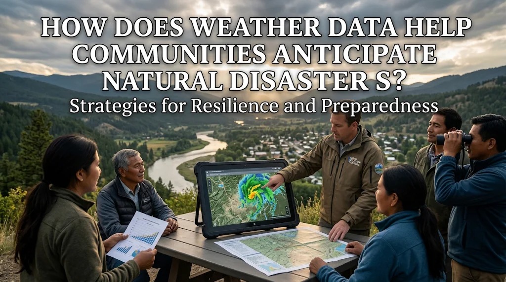
Natural disasters such as floods, storms, droughts, and landslides can threaten lives, damage infrastructure, and disrupt daily activities. Although some disasters occur suddenly, many are influenced by changing weather conditions that can be monitored before dangerous events develop. Information about rainfall, temperature, wind speed, humidity, and atmospheric pressure helps experts understand potential hazards and identify areas that may face increased risks.
Weather data plays an important role in disaster preparedness because it provides information that communities can use to make timely decisions. Through weather monitoring, forecasting technology, and early warning systems, authorities can alert residents, prepare emergency resources, and organize evacuation plans. Access to reliable weather information helps communities reduce potential losses and become more resilient to natural hazards.
MONITORING WEATHER CONDITIONS FOR EARLY DETECTION
Weather monitoring allows meteorological agencies to observe changes in atmospheric conditions that may indicate developing hazards. Instruments such as weather stations, rain gauges, satellites, and radar systems collect information about rainfall, temperature, wind patterns, and cloud development.
Experts analyze these observations to identify unusual weather conditions and monitor changes over time. For example, increasing rainfall over several days may indicate a greater possibility of flooding or landslides in vulnerable locations. Early detection gives authorities more time to assess potential threats and prepare appropriate responses.
PREDICTING HEAVY RAINFALL AND FLOODS
Rainfall data helps communities anticipate flooding by showing how much rain has fallen and how much additional rainfall may occur. Heavy or prolonged rainfall can cause rivers to overflow, drainage systems to become overwhelmed, and low-lying areas to become inundated.
Weather forecasts can be combined with river-level measurements, soil moisture information, and elevation maps to improve flood risk assessments. This information helps authorities identify locations that may require closer monitoring or early evacuation. Residents can also prepare important belongings and avoid traveling through areas likely to experience dangerous flooding.
IDENTIFYING CONDITIONS THAT MAY TRIGGER LANDSLIDES
Landslides can occur when soil and rock become unstable, particularly after prolonged or intense rainfall. Weather data helps experts monitor rainfall patterns that may increase the risk of slope failure.
By comparing current rainfall with historical records and local geological conditions, specialists can identify areas that require additional attention. Rain gauges and monitoring equipment installed near unstable slopes can provide valuable information about changing conditions. However, rainfall is only one factor in landslide risk, which also depends on slope characteristics, soil composition, vegetation, and human activities.
ANTICIPATING SEVERE STORMS AND STRONG WINDS
Weather data helps meteorological agencies monitor developing storms and identify conditions associated with strong winds, thunderstorms, and tropical cyclones. Satellite imagery and weather radar can track cloud systems, rainfall distribution, and storm movement.
Forecast information allows authorities to issue warnings before severe weather reaches populated areas. Coastal communities may prepare fishing boats, secure outdoor equipment, and avoid dangerous activities at sea. Residents can also protect their homes, prepare emergency supplies, and follow official instructions when severe weather warnings are issued.
SUPPORTING DROUGHT MONITORING AND WATER MANAGEMENT
Drought develops when water availability remains below normal levels for an extended period. Weather information, including rainfall records, temperature measurements, and seasonal forecasts, helps experts identify possible drought conditions.
Communities can use this information to manage water resources more carefully. Farmers may adjust planting schedules, select crops that require less water, or improve irrigation efficiency. Local authorities can also prepare water distribution plans and encourage conservation before shortages become severe.
STRENGTHENING EARLY WARNING SYSTEMS
Weather data is a fundamental component of many early warning systems. These systems combine hazard monitoring, forecasting, risk assessment, and communication to inform communities about possible threats.
When dangerous conditions are detected, authorities can distribute warnings through mobile alerts, television, radio, websites, and public communication networks. Effective warnings should explain the type of hazard, affected locations, expected timing, and recommended actions. Clear and timely information helps residents understand the seriousness of a threat and respond appropriately.
HELPING AUTHORITIES PLAN EVACUATIONS
Weather forecasts can support evacuation planning by providing information about when and where hazardous conditions may occur. Authorities can use this information to determine which communities may need to move to safer locations and when evacuation procedures should begin.
For example, rising rainfall and river levels may indicate increasing flood risks in riverside settlements. Forecasts of severe storms can also help officials identify coastal areas that may require precautionary evacuation. Planning ahead allows emergency teams to prepare transportation, shelters, and assistance for people who need additional support.
USING TECHNOLOGY TO ANALYZE WEATHER DATA
Modern technology makes it possible to collect and analyze large amounts of weather information. Satellites, radar systems, automated weather stations, and computer models help experts observe atmospheric conditions and produce forecasts.
Artificial intelligence and data analysis tools can also help identify patterns in historical and current weather records. Geographic Information Systems (GIS) can combine weather information with maps of population distribution, infrastructure, and hazard-prone areas. These technologies support more detailed risk assessments and help authorities prioritize locations that require preparedness measures.
IMPROVING COMMUNITY AWARENESS AND PREPAREDNESS
Weather information becomes more useful when residents understand how to interpret warnings and take appropriate action. Community education programs can explain the meaning of rainfall alerts, storm warnings, temperature changes, and other important weather indicators.
Local authorities and disaster management organizations can conduct preparedness campaigns and evacuation exercises to help residents respond effectively. Schools, community groups, and local media can also share reliable information. When people know where to obtain official forecasts and how to act on warnings, they are better prepared to face potential disasters.
UNDERSTANDING THE LIMITATIONS OF WEATHER FORECASTS
Weather forecasting provides valuable information, but it cannot predict every disaster with complete accuracy. Atmospheric conditions can change rapidly, and forecast precision may vary depending on location, available observations, and the type of hazard.
Some disasters, such as earthquakes, cannot be reliably predicted using ordinary weather data. For this reason, weather monitoring should be combined with geological information, hydrological measurements, and other hazard-specific monitoring systems. Communities should follow official updates because warnings may change as new information becomes available.
CONCLUSION
Weather data helps communities anticipate natural disasters by identifying dangerous conditions, improving forecasts, and supporting early warning systems. Information about rainfall, temperature, wind patterns, and atmospheric pressure allows experts to monitor potential floods, landslides, storms, and droughts before their impacts become more severe.
When combined with reliable communication, evacuation planning, and community education, weather information can support faster and more informed decisions. Although forecasts have limitations, consistent monitoring and public preparedness can reduce disaster risks and help protect lives, property, and essential resources.
Recent Posts

Bagaimana Sistem SKS pada Program Kuliah... 22.11.2026/37 View

How Does Technology Make Daily Evaluation... 21.11.2026/70 View

Apa Strategi Menghadapi Kesenjangan antara Kompetensi... 21.11.2026/73 View

Mengapa Inventaris Aset Penting bagi Kelancaran... 21.11.2026/68 View

When Should Musicians Join a Record... 21.11.2026/71 View
