

How Is Home Distance Determined In School Zoning Systems?
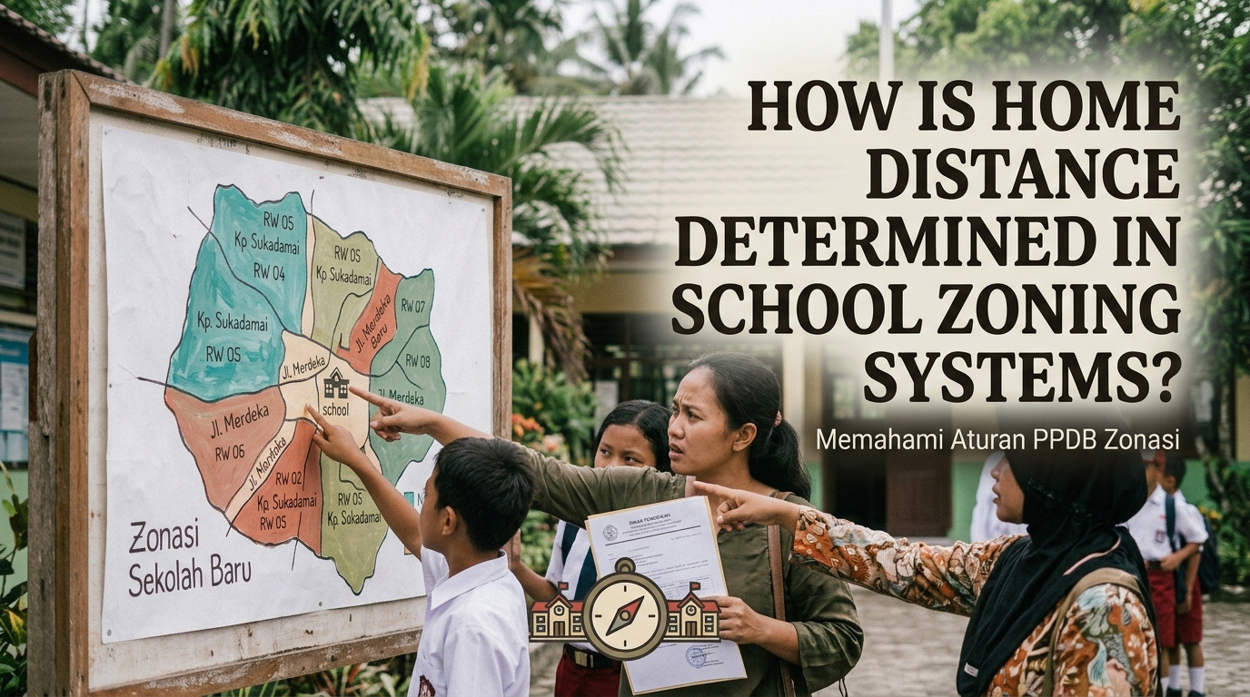
Home distance is an important factor in some school zoning systems because it helps determine which students receive admission priority at particular public schools. Education authorities use residential information and specific measurement methods to assess how close students live to eligible schools. However, the exact process differs between countries, regions, and school admission policies. Understanding how home distance is determined in school zoning systems can help parents prepare applications and understand the criteria used during student admission.
UNDERSTANDING HOME DISTANCE IN SCHOOL ZONING
Home distance refers to the distance between a student's registered or verified residential address and a school. In school zoning systems, this information may be used to establish eligibility, assign admission priority, or rank applicants when places are limited. Some systems measure the distance to a designated school, while others use geographic boundaries to determine whether a student belongs to a particular school area. The applicable method depends on local education regulations.
The purpose of measuring home distance is to organize enrollment and improve access to nearby public schools. It can also help education authorities understand how students are distributed across residential areas. However, living closest to a school does not always guarantee admission because school capacity and other selection criteria may apply. Residential eligibility and distance-based priority should therefore be understood according to the rules of the relevant admission system.
VERIFYING THE STUDENT'S HOME ADDRESS
The first step in determining home distance is usually identifying the student's recognized residential address. Depending on the applicable rules, authorities may request official residence documents, family records, or other accepted evidence. These documents help confirm which address should be used during the admission process. The required documents and verification procedures vary between education systems.
Authorities may compare the information submitted by families with official administrative records. If an address is incomplete, inconsistent, or recently changed, additional verification may be necessary. Accurate information is important because an incorrect address can affect eligibility or admission priority. Verified residential data helps make the selection process more transparent and reliable.
MEASURING DISTANCE USING GEOGRAPHIC METHODS
School distance can be measured in several ways, depending on the admission policy. One common method is straight-line distance, which measures the shortest direct line between two geographic points, such as a home and a school. This method can be calculated using geographic coordinates from a map. It is relatively simple because it does not require following roads or walking routes.
Another method measures travel distance, which follows roads, paths, or other available routes between the home and school. Travel distance may be more useful when authorities want to understand the actual journey students must make. However, it can vary depending on road access, transportation routes, and the mapping system used. The admission rules must clearly identify which measurement method applies because straight-line distance and travel distance can produce different results.
USING MAPS AND DIGITAL LOCATION SYSTEMS
Many geographic systems can help authorities identify residential locations and measure distances to schools. Digital maps and geographic information systems, known as GIS, can display school locations, residential areas, and designated admission boundaries. When accurate coordinates are available, these tools can calculate distances or determine whether an address falls within a particular zone. They can also help authorities identify areas where school access may be limited.
However, digital mapping results depend on the accuracy of the address, geographic data, and measurement settings. A map may show a different result from an official admission system if the systems use different coordinates or distance methods. Parents should therefore avoid assuming that an online map measurement is automatically the official result. Official admission guidance should be used to confirm the accepted method and any applicable distance criteria.
HOW DISTANCE AFFECTS STUDENT ADMISSION
In systems that use distance-based selection, students who live closer to a school may receive higher priority than applicants who live farther away. This can help organize applications when the number of eligible students exceeds the available places. Some systems may also establish geographic admission areas rather than ranking every applicant by exact distance. In these cases, meeting the area's residential requirements may be more important than the precise number of meters between a home and school.
Distance is not necessarily the only factor considered during admission. Depending on local regulations, selection may also involve school capacity, eligibility requirements, special admission pathways, or other approved criteria. Applicants who live close to a school may still be unsuccessful if they do not meet the relevant requirements or if places are limited. Admission priority does not always guarantee acceptance, so families should review all selection rules carefully.
FACTORS THAT CAN AFFECT DISTANCE CALCULATIONS
Several factors can influence the distance recorded during a school admission process. The first is the location point used for the student's home, which may be based on an officially recognized address or verified geographic coordinates. The second is the location point assigned to the school, such as its registered address or a designated entrance. Different reference points can produce slightly different measurements.
The measurement method is also important because straight-line distance may be shorter than the actual route a student travels. Geographic barriers, inaccessible roads, and differences in map data can further affect practical travel conditions. Authorities should use consistent methods so that applicants are evaluated fairly. Clear measurement standards help reduce confusion and disputes about school admission results.
HOME DISTANCE IN INDONESIA'S SCHOOL ADMISSION SYSTEM
In Indonesia, residential location is considered through the domisili pathway under the Sistem Penerimaan Murid Baru (SPMB) framework for relevant public school admissions. The specific requirements and selection procedures depend on current national regulations, the education level, and local implementation. Therefore, the way distance or residential eligibility is assessed should not be assumed to be identical for every school or region.
Families should check the official admission announcement issued by the relevant local education authority or school. The announcement should explain the applicable eligibility requirements, documents, selection criteria, and procedures for handling admission questions. An unofficial map measurement may help families understand their approximate location, but it should not replace the official determination. Current local regulations are the most reliable reference for understanding how residential location affects admission.
HOW PARENTS CAN CHECK HOME DISTANCE CORRECTLY
Parents can begin by identifying the official residential address that will be used in the application. They should then review the admission guidelines to determine whether eligibility depends on a geographic zone, straight-line distance, travel distance, or another specified method. If an official online admission portal provides a location-checking feature, families should follow its instructions. This can help them avoid relying on measurements that do not match the applicable rules.
Parents should also ensure that their residential documents are accurate and consistent. If the calculated distance appears incorrect or the admission requirements are unclear, they can contact the school or local education office for clarification. Keeping copies of relevant documents and following official deadlines can make the application process easier. Checking official information early helps families understand their options before submitting an admission application.
CONCLUSION
Home distance in school zoning systems is determined by identifying a student's recognized residential location and applying the measurement method specified by the relevant education authority. The method may involve straight-line distance, travel distance, or geographic eligibility boundaries. Digital maps and geographic information systems can support these calculations, but their results depend on accurate data and consistent measurement standards.
For parents, the most important step is to understand the official admission rules rather than relying only on an independent map measurement. Distance may influence admission priority, but school capacity and other requirements can also affect the outcome. Accurate residential information and clear admission procedures help make school zoning more transparent and support fairer access to education.
Recent Posts

Bagaimana Sistem SKS pada Program Kuliah... 22.11.2026/57 View

How Does Technology Make Daily Evaluation... 21.11.2026/86 View

Apa Strategi Menghadapi Kesenjangan antara Kompetensi... 21.11.2026/84 View

Mengapa Inventaris Aset Penting bagi Kelancaran... 21.11.2026/82 View

When Should Musicians Join a Record... 21.11.2026/86 View
