

What Helps Planetary Rovers Navigate Unfamiliar Alien Landscapes?
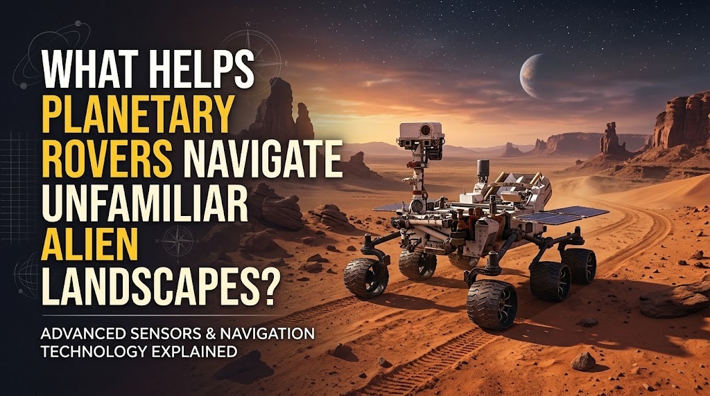
Planetary rovers are robotic vehicles designed to explore the surfaces of other worlds, where scientists cannot directly control every movement in real time. These machines must travel through unfamiliar terrain while avoiding obstacles, protecting scientific instruments, and reaching important research locations. Their navigation depends on a combination of cameras, sensors, onboard computers, maps, and carefully planned commands. Because communication between Earth and another planet can take time, rovers need some ability to assess their surroundings and make navigation decisions independently.
CAMERAS HELP ROVERS SEE THEIR SURROUNDINGS
Cameras are among the most important tools used by planetary rovers for understanding their environment. Stereo cameras can capture images from different viewpoints, allowing onboard systems or mission teams to estimate the shape and distance of objects around the rover. These images can reveal rocks, slopes, depressions, and other potential obstacles. Scientists and engineers can use the visual information to plan suitable routes across the terrain. Cameras also provide valuable observations that support scientific investigations in addition to navigation.
SENSORS MEASURE TERRAIN CONDITIONS
Rovers use different sensors to gather information that cameras alone may not provide. Depending on the mission, sensors can help measure factors such as vehicle orientation, movement, distance, and terrain characteristics. Instruments such as accelerometers and gyroscopes can contribute to determining how the rover is moving and positioned. Combining sensor information with visual observations gives the navigation system a more complete understanding of the environment. Reliable sensor data is especially important when the terrain is uneven or visibility is limited.
ONBOARD COMPUTERS PROCESS NAVIGATION DATA
Planetary rovers need computers to process information collected by their cameras and sensors. Onboard software can help identify obstacles, estimate the rover's position, and evaluate possible paths. Some modern rover systems can perform autonomous navigation tasks, allowing the vehicle to move through certain terrain without receiving an individual command for every wheel movement. This capability reduces dependence on continuous communication with Earth. However, autonomous navigation operates within predefined rules and safety limits established by mission engineers.
MAPS HELP PLAN SAFE ROUTES
Navigation teams can create maps of planetary surfaces using images and other measurements collected by orbiters and rovers. These maps help mission planners identify areas that may be scientifically interesting as well as regions that could be difficult or dangerous to cross. During surface operations, newly collected observations can be used to update the rover's understanding of nearby terrain. Route planning can then balance scientific objectives with safety and energy limitations. A carefully selected route can help the rover reach its destination while reducing unnecessary risks.
AUTONOMOUS NAVIGATION REDUCES DEPENDENCE ON EARTH
Communication delays make direct real-time control difficult for planetary exploration missions. Depending on the distance between Earth and the spacecraft, commands and responses can take significant time to travel. Autonomous navigation allows a rover to react to certain obstacles and terrain conditions without waiting for a new instruction from Earth. The rover can analyze its surroundings, select an acceptable path, and continue moving according to its programmed capabilities. This is particularly useful when a mission requires movement across terrain that was not completely known beforehand.
ARTIFICIAL INTELLIGENCE CAN SUPPORT DECISION-MAKING
Advanced software and artificial intelligence techniques can help rovers interpret images, recognize terrain features, and select navigation options. These technologies can improve the rover's ability to operate in environments where complete maps are unavailable. Machine-learning methods may also assist with identifying patterns in visual or sensor data. However, planetary navigation systems must be highly reliable because mistakes can damage a rover or prevent it from reaching important scientific targets. AI therefore works as part of a carefully engineered system rather than as an unrestricted decision-maker.
HUMAN OPERATORS REMAIN ESSENTIAL
Despite advances in autonomous navigation, scientists and engineers on Earth continue to play a major role in rover missions. They analyze images and scientific data, plan routes, define objectives, and send commands to the spacecraft. Human operators can also review the rover's progress and adjust future plans when new terrain information becomes available. The combination of human expertise and robotic autonomy allows missions to operate more effectively under communication constraints. This partnership is especially important when navigating terrain that presents unusual or unexpected conditions.
CONCLUSION
Planetary rovers navigate unfamiliar alien landscapes using a combination of cameras, sensors, onboard computing, maps, autonomous navigation, and human guidance. These technologies allow rovers to understand their surroundings, identify obstacles, and select routes within defined safety limits. Autonomous capabilities are particularly valuable because communication delays prevent continuous real-time control from Earth. As robotic exploration technology advances, improved perception, computing, and navigation systems will allow future rovers to explore increasingly challenging environments while supporting important scientific discoveries.
Recent Posts

Bagaimana Sistem SKS pada Program Kuliah... 22.11.2026/48 View

How Does Technology Make Daily Evaluation... 21.11.2026/76 View

Apa Strategi Menghadapi Kesenjangan antara Kompetensi... 21.11.2026/78 View

Mengapa Inventaris Aset Penting bagi Kelancaran... 21.11.2026/73 View

When Should Musicians Join a Record... 21.11.2026/78 View
