

Why Is Hazard Mapping Essential Before Natural Disasters Occur?
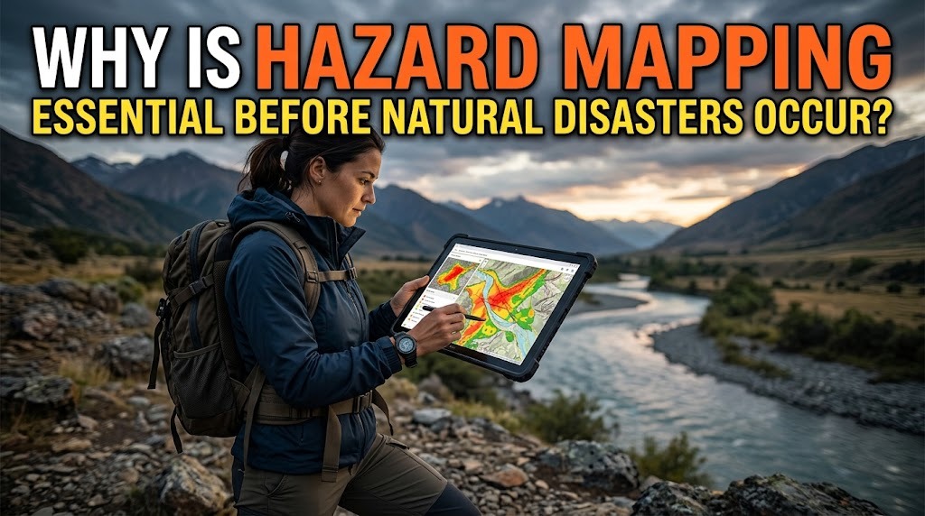
Natural disasters can cause serious damage to communities, infrastructure, and the environment. Events such as floods, earthquakes, landslides, volcanic eruptions, and tsunamis can threaten lives, particularly in areas with high levels of exposure and limited preparedness. Understanding potential hazards before disasters occur is therefore an important part of disaster risk reduction.
Hazard mapping helps identify locations that may be affected by specific natural hazards and shows how these risks are distributed across an area. By presenting geographical information in an organized visual format, hazard maps help governments, communities, and emergency response agencies make better decisions. These maps also support land-use planning, evacuation preparation, and the development of disaster mitigation strategies.
IDENTIFYING AREAS VULNERABLE TO NATURAL DISASTERS
One of the main purposes of hazard mapping is to identify locations that have a higher likelihood of experiencing certain natural hazards. Different areas have different geographical characteristics, environmental conditions, and levels of exposure.
For example, communities located near rivers may face greater flood exposure, while settlements on steep slopes may be more vulnerable to landslides. Areas near active faults or volcanoes may also require specific hazard assessments.
By identifying these locations, authorities can understand which communities need additional attention and preventive measures. This information provides an important foundation for reducing disaster risks before an emergency happens.
SUPPORTING SAFER LAND-USE PLANNING
Hazard maps provide valuable information for determining how land should be used and developed. Governments and urban planners can use these maps when evaluating locations for residential areas, schools, hospitals, roads, and other important infrastructure.
For example, development in areas with significant flood or landslide hazards may require additional safety measures or restrictions. Understanding these conditions before construction begins can help reduce future exposure to natural disasters.
Hazard mapping also supports more sustainable regional development. By considering potential risks during planning, communities can avoid unnecessary development in dangerous locations and protect important environmental areas.
HELPING COMMUNITIES PREPARE FOR EMERGENCIES
Communities need to understand the hazards that may affect their neighborhoods. Hazard maps make this information easier to communicate because residents can see which locations are exposed to particular risks.
Local authorities can use these maps during community education programs, disaster simulations, and preparedness activities. Residents can learn whether their homes, workplaces, or schools are located in areas that require additional precautions.
This awareness encourages people to prepare emergency supplies, identify safe locations, and understand the actions they should take when official warnings are issued. As a result, communities can become more prepared to respond to potential disasters.
DETERMINING EVACUATION ROUTES AND SAFE LOCATIONS
Hazard mapping is essential for preparing evacuation plans. Before disasters occur, authorities need to identify routes and safe locations that can be used when communities must leave hazardous areas.
For example, flood hazard maps can help identify settlements that may need evacuation during severe flooding. Authorities can then assess suitable routes and designate temporary shelters outside the affected areas.
Evacuation planning must also consider road conditions, accessibility, transportation needs, and the location of vulnerable residents. Hazard maps provide geographical information that supports these decisions and helps make emergency planning more organized.
SUPPORTING GOVERNMENT DISASTER MITIGATION POLICIES
Governments need reliable information to develop disaster mitigation policies. Hazard maps help decision-makers understand the geographical distribution of potential risks and determine where preventive investments may be needed.
For instance, areas exposed to flooding may require improved drainage systems, river management, or flood protection infrastructure. Locations vulnerable to landslides may need slope stabilization, vegetation protection, or restrictions on certain land-use activities.
By using hazard maps as a planning reference, governments can direct resources toward locations that require risk reduction measures. This supports more informed decision-making and helps strengthen regional disaster management.
PROTECTING IMPORTANT INFRASTRUCTURE
Natural disasters can disrupt transportation networks, electricity supplies, communication systems, and public services. Hazard mapping helps identify infrastructure that may be exposed to natural hazards.
Engineers and planners can use this information when designing or improving roads, bridges, hospitals, schools, and other essential facilities. They can consider suitable construction methods, protective measures, and alternative locations based on the identified risks.
Protecting critical infrastructure is important because these facilities often remain necessary during emergencies. Their continued operation can support evacuation, medical assistance, communication, and recovery activities.
SUPPORTING DISASTER RESPONSE COORDINATION
Hazard maps help disaster management agencies understand the geographical conditions of an affected area. This information can support coordination between local governments, emergency services, health facilities, and community organizations.
During an emergency, maps can help identify potentially affected locations, access routes, and areas that may require assistance. Response teams can use this information when organizing evacuation, distributing emergency supplies, and planning rescue activities.
However, hazard maps should be combined with current information from field observations, weather monitoring, and official emergency reports. Conditions can change quickly, so updated information is important for effective response coordination.
USING TECHNOLOGY TO IMPROVE HAZARD MAPPING
Modern technology has improved the way hazard maps are developed and updated. Geographic Information Systems (GIS), satellite imagery, remote sensing, and digital elevation models allow experts to analyze geographical and environmental information more effectively.
GIS can combine different datasets, including rainfall patterns, river networks, land elevation, population distribution, and geological conditions. This helps experts identify areas that may face specific hazards and create maps that support disaster planning.
Remote sensing also provides information about changes in land cover, vegetation, and environmental conditions. When combined with field surveys and scientific analysis, these technologies can improve the quality of hazard assessments.
REDUCING ECONOMIC LOSSES AND PROPERTY DAMAGE
Natural disasters can create significant economic losses by damaging homes, businesses, infrastructure, and public facilities. Hazard mapping helps reduce potential losses by identifying locations that require preventive action.
Businesses and property developers can use hazard information when selecting locations, planning construction, and protecting important assets. Local governments can also prioritize infrastructure improvements in areas with greater exposure to specific hazards.
Although hazard mapping cannot prevent natural disasters from happening, it can help reduce the potential consequences. Identifying risks early allows communities and organizations to take preventive measures before damage occurs.
KEEPING HAZARD MAPS UPDATED
Hazard maps need regular evaluation because geographical conditions, land use, population distribution, and environmental characteristics can change over time. New residential developments, deforestation, drainage changes, and infrastructure construction may influence disaster exposure.
Updating maps helps ensure that planning decisions reflect current conditions. Authorities can incorporate new scientific information, field observations, and monitoring data to improve hazard assessments.
Public participation can also support the mapping process. Residents may provide useful information about previous floods, landslides, damaged infrastructure, and other local conditions that should be considered during risk assessments.
CONCLUSION
Hazard mapping is essential before natural disasters occur because it helps identify vulnerable areas, support safer land-use planning, prepare evacuation routes, and guide disaster mitigation policies. It also helps protect important infrastructure, improve emergency coordination, and reduce potential economic losses.
By combining geographical information, scientific analysis, modern technology, and community participation, hazard maps provide a valuable foundation for disaster preparedness. Although they cannot eliminate natural hazards, accurate and regularly updated maps can help communities understand potential risks and make better decisions to protect lives and property.
Recent Posts

Bagaimana Sistem SKS pada Program Kuliah... 22.11.2026/37 View

How Does Technology Make Daily Evaluation... 21.11.2026/70 View

Apa Strategi Menghadapi Kesenjangan antara Kompetensi... 21.11.2026/73 View

Mengapa Inventaris Aset Penting bagi Kelancaran... 21.11.2026/68 View

When Should Musicians Join a Record... 21.11.2026/71 View
