

Why Is Urban Flooding Becoming More Frequent?
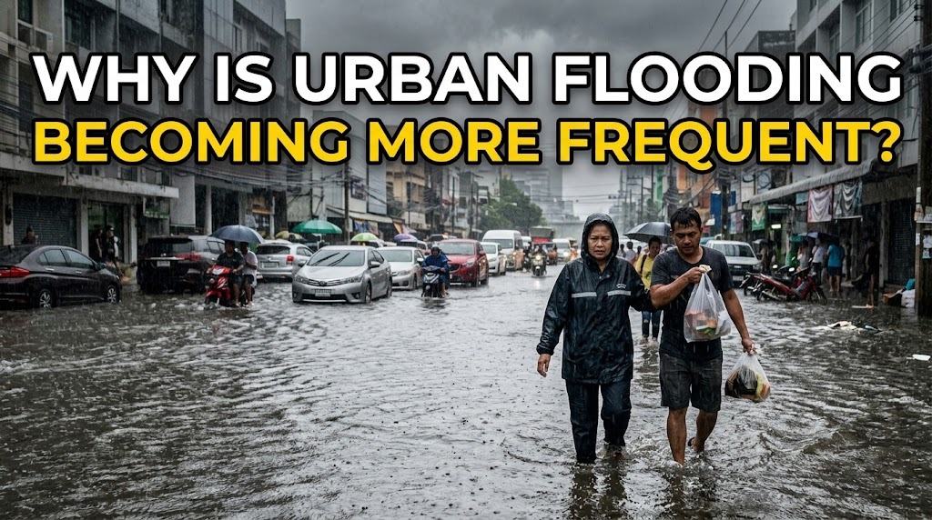
Urban flooding is becoming more frequent in many cities because several environmental and human factors are increasing the amount of water that accumulates during heavy rainfall. Rapid urbanization, extensive paved surfaces, inadequate drainage, loss of natural water storage areas, and changing rainfall patterns can all increase flood risks. In some locations, land subsidence and rising sea levels add further pressure, especially in low-lying coastal cities. Understanding these factors is important for developing effective strategies to reduce flooding and protect urban communities.
RAPID URBANIZATION INCREASES SURFACE RUNOFF
Rapid urbanization is one of the major factors contributing to increasing flood risks. As cities expand, natural land is often replaced by roads, buildings, parking areas, and other impermeable surfaces. These surfaces prevent rainwater from soaking into the ground and cause more water to flow across the surface.
When large amounts of runoff enter drainage systems at the same time, the systems can become overwhelmed. Continued urban development can therefore increase flood risk if drainage capacity and water-management infrastructure do not expand at a similar rate.
HEAVY RAINFALL CAN OVERLOAD DRAINAGE SYSTEMS
Intense rainfall can produce more water than urban drainage networks are designed to carry. Drains, pipes, canals, and culverts have specific capacities, and extreme rainfall can exceed those limits within a short period.
Repeated episodes of heavy rainfall can be especially problematic when drainage systems remain full between storms. Water then has less time to leave the area before another rainfall event occurs. This can cause flooding to happen more quickly and last longer.
LOSS OF GREEN SPACES REDUCES WATER ABSORPTION
Parks, forests, gardens, wetlands, and other green spaces help absorb and temporarily store rainwater. Plants slow down surface runoff, while soil allows some water to infiltrate underground.
When these areas are converted into buildings and paved surfaces, the city loses part of its natural ability to manage rainfall. Protecting existing green spaces and adding vegetation to developed areas can help reduce the volume and speed of stormwater runoff.
DRAINAGE SYSTEMS MAY BE TOO OLD OR UNDERSIZED
Some urban drainage networks were constructed decades ago when populations were smaller and cities had less developed land. The original systems may no longer be sufficient for current levels of urbanization.
Aging pipes, narrow channels, damaged infrastructure, and poor connections between drainage networks can further reduce capacity. Without regular maintenance and upgrades, these weaknesses can make flooding more likely during heavy rainfall.
BLOCKED DRAINS RESTRICT WATER FLOW
Garbage, sediment, leaves, and other debris can obstruct drains and waterways. Blockages reduce the amount of water that can move through drainage networks and increase the likelihood of overflow.
Improper waste disposal is therefore an important local factor in some urban flooding events. Routine cleaning and effective waste-management systems can help maintain drainage capacity and prevent avoidable blockages.
CLIMATE CHANGE CAN ALTER RAINFALL PATTERNS
Climate change can influence the intensity, frequency, and distribution of extreme rainfall in different regions. Warmer air can hold more moisture, which can contribute to heavier precipitation when suitable atmospheric conditions occur.
The relationship between climate change and flooding varies by location, so not every city experiences the same changes. Nevertheless, increasing risks from extreme rainfall make it important for cities to consider future climate conditions when designing drainage and flood-management systems.
RIVERS AND COASTAL AREAS ADD FLOOD PRESSURE
Cities located near rivers, lakes, or coastlines may face additional sources of flooding. Heavy rainfall can raise river levels until water flows beyond riverbanks or drainage systems cannot discharge efficiently.
Coastal cities can also experience flooding from high tides, storm surges, and rising sea levels. When coastal water levels are already high, rainfall may have difficulty draining toward the sea. This can increase the duration and severity of flooding in low-lying urban areas.
LAND SUBSIDENCE CAN LOWER URBAN AREAS
Land subsidence occurs when the ground surface gradually sinks. It can result from groundwater extraction, natural geological processes, soil compaction, or other factors depending on the location.
When urban land sinks, areas that were previously less vulnerable may become closer to river or sea levels. Drainage systems can also become less effective because water has greater difficulty flowing toward natural outlets. In some coastal cities, subsidence can therefore significantly increase long-term flood risk.
POOR LAND-USE PLANNING CAN INCREASE EXPOSURE
Flooding becomes more damaging when buildings and infrastructure are constructed in locations that naturally collect or convey water. Development on floodplains, wetlands, riverbanks, and other vulnerable areas can reduce the space available for excess water.
Poorly planned construction can also block natural drainage paths. Effective land-use planning should consider topography, historical flood patterns, waterways, and future environmental conditions before allowing intensive development in high-risk areas.
POPULATION GROWTH INCREASES URBAN PRESSURE
A growing urban population creates greater demand for housing, transportation, commercial areas, and public infrastructure. If development occurs faster than infrastructure improvements, drainage networks can become increasingly stressed.
More residents can also produce more solid waste and increase the amount of land covered by buildings and roads. Without effective waste management and coordinated planning, population growth can indirectly increase the factors that contribute to urban flooding.
URBAN FLOODING IN INDONESIA
Many Indonesian cities face a combination of factors that can increase flood risks, including intense seasonal rainfall, rapid urban development, drainage limitations, river overflow, coastal exposure, and land subsidence in some locations. The risks vary considerably between cities because local geography, infrastructure, and land-use patterns are different.
Reducing these risks requires an integrated approach. Cities can improve drainage maintenance, protect wetlands and other natural water-storage areas, manage development in flood-prone locations, improve waste management, and strengthen early-warning systems. Long-term planning should also account for changing rainfall patterns and other environmental risks.
CONCLUSION
Urban flooding is becoming more frequent in some cities because urban development is changing how rainfall moves through the environment while extreme weather and other hazards can increase pressure on drainage systems. Paved surfaces, reduced green spaces, inadequate drainage, blocked waterways, river overflow, coastal conditions, and land subsidence can all contribute to greater vulnerability. The causes differ between locations, so flood management must be based on local conditions and reliable risk assessments. Combining better infrastructure with responsible land-use planning and natural water management can help cities become more resilient to future flooding.
Recent Posts

Bagaimana Sistem SKS pada Program Kuliah... 22.11.2026/53 View

How Does Technology Make Daily Evaluation... 21.11.2026/82 View

Apa Strategi Menghadapi Kesenjangan antara Kompetensi... 21.11.2026/81 View

Mengapa Inventaris Aset Penting bagi Kelancaran... 21.11.2026/77 View

When Should Musicians Join a Record... 21.11.2026/82 View
