

Why Should Evacuation Routes Consider Local Geographic Conditions?
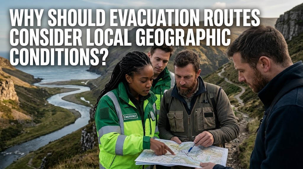
Evacuation routes are designated paths that help people move from dangerous areas to safer locations during emergencies. They play an important role in disaster preparedness because they guide residents away from hazards such as floods, earthquakes, tsunamis, landslides, and volcanic eruptions. However, an evacuation route that works in one location may not be suitable for another.
Local geographic conditions influence how disasters develop and how people can reach safe areas. Factors such as elevation, slope, rivers, coastlines, road networks, and natural barriers can affect evacuation speed and safety. Therefore, evacuation planning must consider the physical characteristics of each region to ensure that routes remain accessible and effective during emergencies.
UNDERSTANDING LOCAL GEOGRAPHIC CONDITIONS
Every region has different geographical characteristics that influence its disaster risks. Coastal areas may face tsunamis and tidal flooding, while mountainous regions are more vulnerable to landslides and volcanic hazards. Lowland settlements may experience river flooding, especially during periods of heavy rainfall.
Understanding these conditions helps authorities identify dangerous locations and determine suitable evacuation destinations. Geographic surveys, hazard maps, and local environmental data can provide important information for designing safe routes. This approach ensures that evacuation plans reflect the actual conditions of the surrounding area.
ELEVATION DETERMINES SAFE EVACUATION DESTINATIONS
Elevation is an important factor when planning evacuation routes, particularly in areas threatened by tsunamis and floods. In coastal communities, residents may need to move toward higher ground or designated vertical evacuation buildings when a tsunami warning is issued.
In flood-prone areas, evacuation destinations should be located above expected flood levels and away from strong water currents. Choosing a safe destination based on elevation can prevent residents from moving toward another dangerous area. Authorities should also consider whether the route remains accessible as water levels rise.
SLOPE CONDITIONS AFFECT ROUTE SAFETY
Steep slopes and unstable hillsides can create additional challenges during evacuation. In mountainous regions, roads may become damaged or blocked by landslides, falling rocks, and soil movement. These conditions can make certain routes dangerous or completely inaccessible.
Evacuation planning should identify stable roads and alternative paths that avoid high-risk slopes. Routes should also be inspected regularly, especially during rainy seasons when landslide risks may increase. This helps residents avoid paths that could become hazardous during an emergency.
RIVERS AND WATERWAYS CAN BECOME BARRIERS
Rivers, canals, and other waterways influence how people move through a region during disasters. During heavy rainfall, river levels can rise quickly and cause flooding along roads, bridges, and nearby settlements. A route that is normally safe may become dangerous when water flows exceed the capacity of local infrastructure.
Planners should identify bridges, river crossings, and low-lying roads that may become inaccessible. Alternative routes should be prepared so residents do not depend on a single crossing. Evacuation destinations should also be located away from areas exposed to dangerous river currents.
COASTAL FEATURES INFLUENCE TSUNAMI EVACUATION
Coastal geography plays a major role in tsunami evacuation planning. Beaches, bays, river mouths, coastal plains, and nearby hills can influence how tsunami waves reach different locations. Some coastal areas may have limited access to higher ground, making evacuation more challenging.
Routes should direct residents away from the shoreline and toward safe elevated areas or designated evacuation buildings. Authorities should also consider the distance residents must travel and the time available before waves arrive. Clear signs and accessible paths are essential, particularly in densely populated coastal communities.
ROAD NETWORKS AND NATURAL BARRIERS
The layout of roads, settlements, forests, mountains, and other natural features can affect evacuation movement. Narrow roads may become congested when many residents leave an area simultaneously. Meanwhile, mountains, rivers, and damaged bridges may limit access to alternative routes.
Geographic Information Systems (GIS) can help authorities examine road networks and identify possible obstacles. By combining geographic data with population information, planners can determine which routes are suitable for different communities. This also helps emergency teams identify access points for rescue operations.
PREVENTING CONGESTION DURING EMERGENCIES
Geographic conditions influence how quickly people can move through evacuation routes. In dense settlements, narrow streets and limited exits can cause serious congestion. In mountainous areas, winding roads and steep gradients may slow down vehicles and pedestrians.
Planners should provide multiple evacuation options whenever possible and identify routes for different residential areas. Pedestrian paths can also reduce dependence on vehicles when roads become crowded. Regular evacuation drills help residents understand where to go and how to move safely.
USING GEOGRAPHIC DATA TO IMPROVE EVACUATION PLANNING
Modern geographic technologies support more accurate evacuation planning. GIS, satellite imagery, digital elevation models, and hazard mapping allow authorities to examine terrain, identify vulnerable locations, and evaluate possible evacuation routes.
These tools can help planners estimate travel distances, identify areas that may become isolated, and locate suitable emergency shelters. However, digital information should be combined with field inspections and local knowledge. Residents often understand practical conditions, such as frequently flooded roads or paths that become difficult to use during heavy rain.
THE IMPORTANCE OF COMMUNITY PARTICIPATION
Local communities can provide valuable information about geographic conditions that may not appear in official maps. Residents may know which roads are frequently flooded, which hillsides are unstable, or which paths remain accessible during emergencies.
Community participation also helps ensure that evacuation routes are understandable and practical. Local authorities can involve residents in mapping exercises, safety meetings, and evacuation drills. Special attention should be given to children, older adults, people with disabilities, and others who may need additional assistance.
CONCLUSION
Evacuation routes should consider local geographic conditions because terrain, elevation, rivers, coastlines, and road networks directly influence evacuation safety. Ignoring these factors may lead residents toward dangerous locations, inaccessible roads, or areas exposed to secondary hazards.
Effective evacuation planning combines geographic data, hazard assessments, infrastructure improvements, and community knowledge. By adapting routes to local conditions and reviewing them regularly, authorities can improve emergency preparedness and help protect more lives during disasters.
Recent Posts

Bagaimana Sistem SKS pada Program Kuliah... 22.11.2026/37 View

How Does Technology Make Daily Evaluation... 21.11.2026/70 View

Apa Strategi Menghadapi Kesenjangan antara Kompetensi... 21.11.2026/73 View

Mengapa Inventaris Aset Penting bagi Kelancaran... 21.11.2026/68 View

When Should Musicians Join a Record... 21.11.2026/71 View
